Kona to Hilo: which road to take, and where to stop
Saddle Road, the Hāmākua Coast, or south via the volcano: which Kona–Hilo road to drive, and where I actually stop.

Three roads between Kona and Hilo. They are not interchangeable.
Saddle Road when you just need to be there. The Hāmākua Coast when the day is the drive. The south road when the volcano and Punaluʻu are the point.
Living in Kona, I took Saddle Road most days. Fast, empty, the crossing when I just needed to be in Hilo. I kept the Hāmākua Coast for the days I had nowhere else to be.
The three routes at a glance
| Route | Distance | Driving time without stops | Best for |
|---|---|---|---|
| Saddle Road (Route 200) | about 140 km / 85 mi | 1 h 45 – 2 h | Getting across quickly |
| North, via Waimea and the Hāmākua Coast | about 150 km / 95 mi | 2 h 15 – 2 h 30 | Waterfalls, valleys, a full day of sightseeing |
| South, via Kaʻū and Volcano | about 200 km / 125 mi | 3 h + | Combining with the national park and black sand beaches |
Times are realistic averages from Kailua-Kona to downtown Hilo. Add traffic in Kona at rush hour, and roadworks.
Saddle Road: the fast way
Officially the Daniel K. Inouye Highway, Saddle Road crosses the island between Maunakea and Mauna Loa, climbing to around 2,000 m (6,600 ft). It’s a modern, well-paved road, and the landscape is unlike the rest of the island: lava fields, grassland, fog rolling in over the pass.
What to know:
- No services in the middle. Fill up before you leave.
- Fog and rain are frequent near the top, especially in the afternoon. Headlights on, slower speed.
- The Maunakea access road branches off near the highest point. The road up to the summit requires a four-wheel drive beyond the visitor station, and most rental contracts don’t allow it. Read yours before you get ideas.
Saddle Road is the right choice when the destination matters more than the journey: getting to Hilo for a dinner reservation, or back to Kona for a flight.
The Hāmākua Coast: the beautiful way
If you have the day, take this once. North from Kona, across at Waimea, then down the windward coast to Hilo. Dry lava, then ranch land, then green gulches. A couple of hours if you do not stop. You will stop.
Stops, in order:
Waimea. Cool, green, cattle country. Coffee and a stretch. Not a destination.
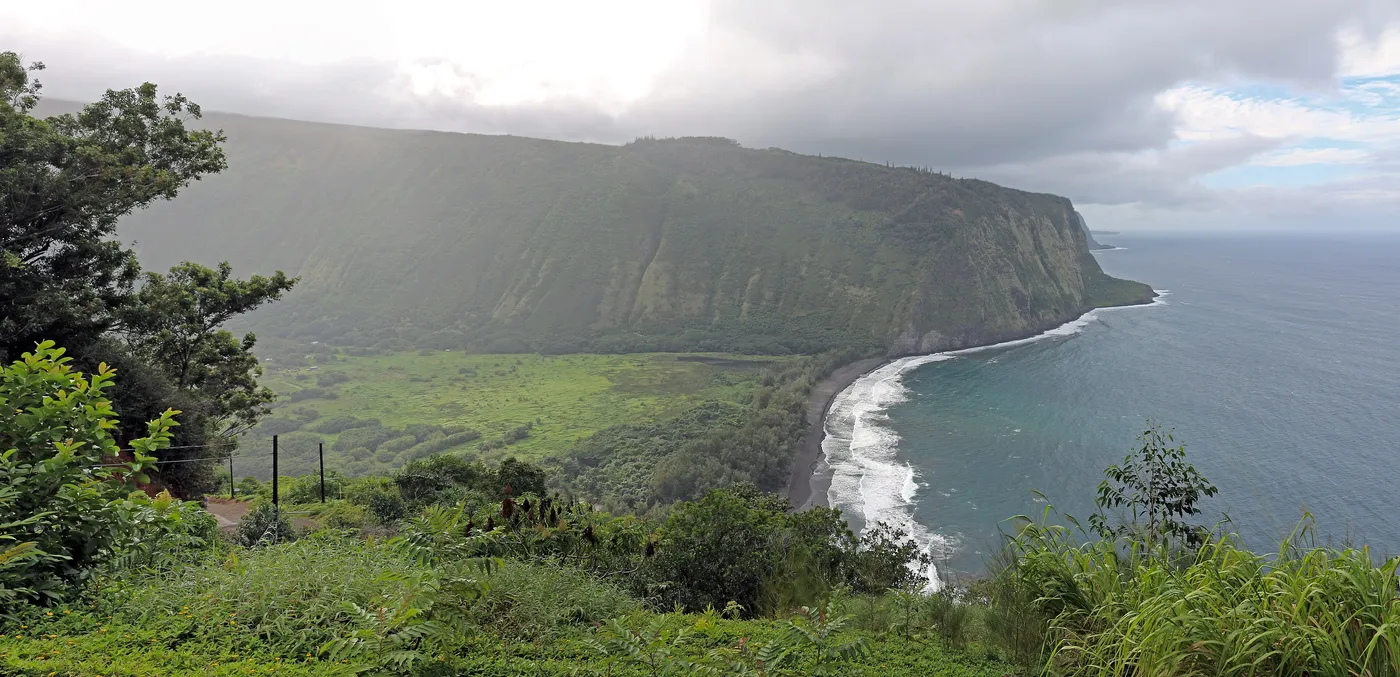
Waipiʻo Valley lookout. Past Honokaʻa, the road ends at a view: black sand at the mouth, cliffs both sides. The road down is restricted and wants a real 4WD. Stay up top unless you have already checked the access rules that week.
Honokaʻa. Old sugar town, wooden storefronts. Stop at Tex Drive-In. Lilikoi malasada, eaten in the parking lot. The why is in Malasadas.
Laupāhoehoe Point. Short detour down to black rock and a memorial to the 1946 tsunami. Quiet. I would not skip it to “save time” for another waterfall photo.
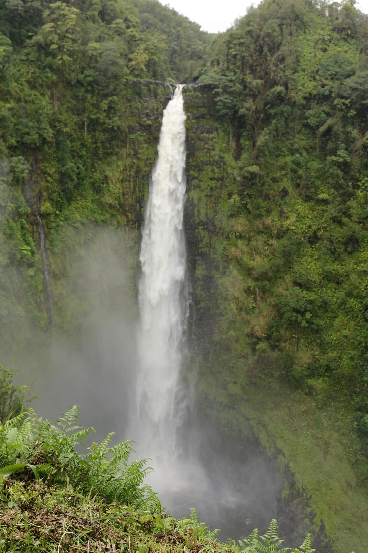
ʻAkaka Falls State Park. A paved loop, 15–20 minutes, through rainforest to a fall over 130 m (440 ft). Small fee if you are not a resident. Morning. The car park is the reason.
Onomea scenic drive (Pepeʻekeo 4-Mile Scenic Drive). Just before Hilo, leave the highway for a narrow old road through jungle, with one-lane bridges over streams. Slow down: locals live here.
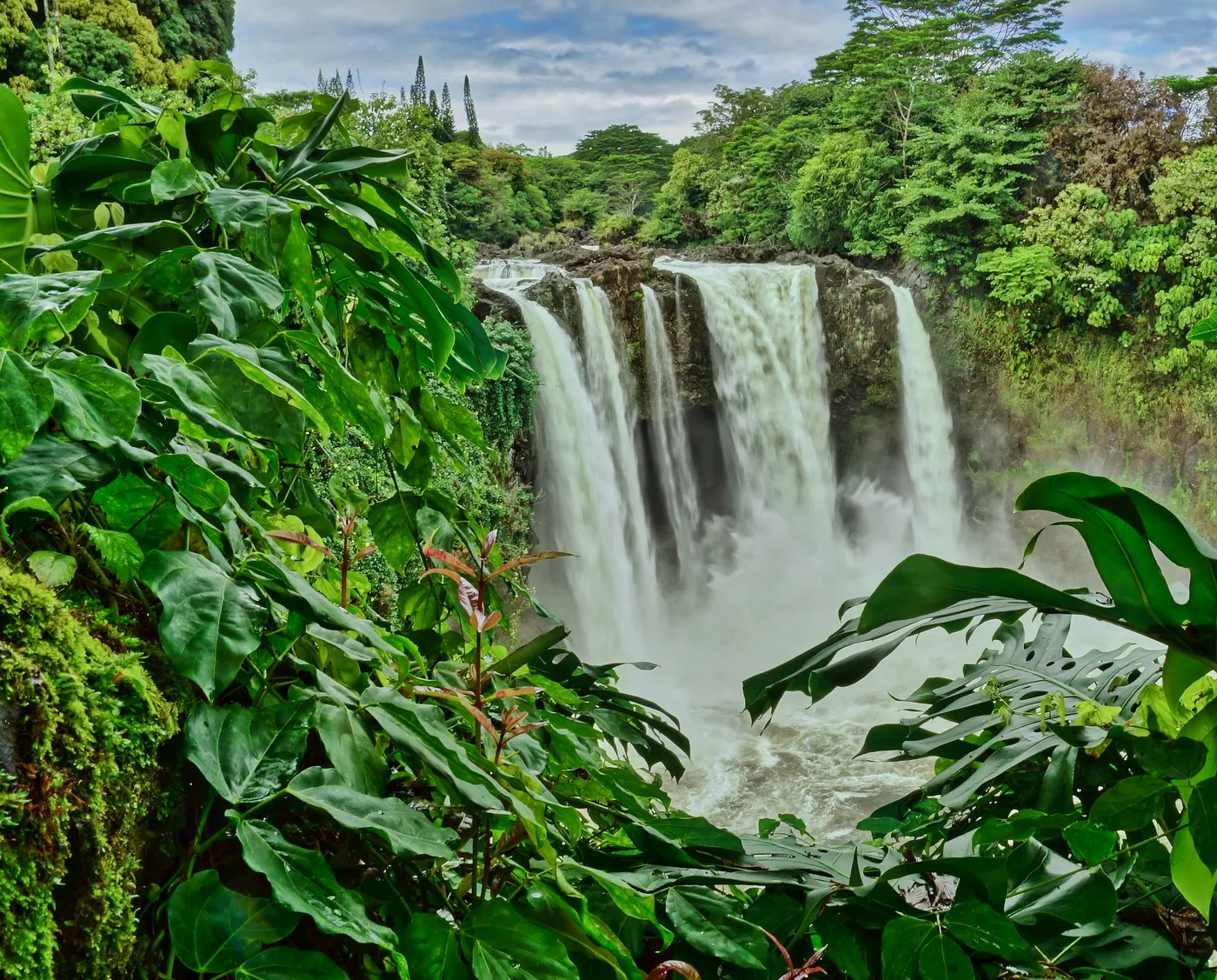
Rainbow Falls, in Hilo. Two minutes from town. Morning sun is when the rainbows appear in the spray, hence the name.
ʻAkaka, early. I used to go in the rain on purpose. The path smells like wet fern. The falls are louder than the photos.
The south: through Kaʻū and the volcano
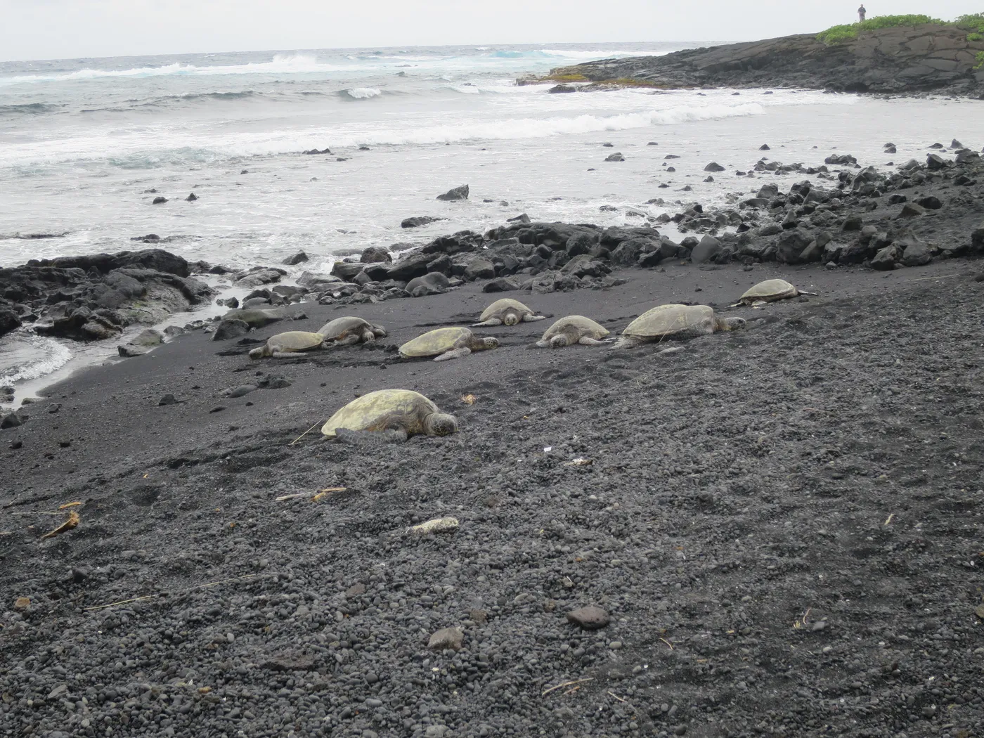
The south road is the long one. It is not a detour if Hawaiʻi Volcanoes National Park is already the plan. South Kona coffee country, then empty Kaʻū lava, Punaluʻu, the park entrance at Volcano, then down to Hilo.
Split it. Drive and stop, sleep in Volcano village, do the park, then Hilo. Park plus the whole south road in one day is how people end up on a wet road in the dark.
My recommendation
On a split week: Hāmākua Coast toward Hilo, south road back to Kona through the park. One loop. You do not retrace.
Saddle Road is for when you are late, or you just need to be on the other side.
Driving tips
- Rental cars are fine on all three routes. You don’t need a 4WD for anything in this guide.
- Rain on the Hilo side is normal. It’s what makes it green. Drive accordingly, especially on the coast road’s curves.
- Don’t trust the GPS times on the Hāmākua Coast: they don’t count the stops, and you’ll want to stop.
- Watch for one-lane bridges on old roads. The rule is courtesy: let a group of cars cross before you go.
About the author
Alexis Guay
French web developer and former resident of Hawaiʻi Island. I write the guides I wish I’d had before my first week there.
More about meLinkedIn
Also available in Français, Español, Deutsch, Português, Italiano